Inventory and documentation are integral parts of heritage area planning and serve as a fundamental basis for overall heritage conservation. The inventory and documentation of heritage areas aim to generate comprehensive information on existing heritage assets within a particular area, including their presence, descriptions, and assessments of significance. The compiled heritage information is then used as a reference for decision-making in planning processes.
One of the challenges faced by Indonesia is that many heritage assets: natural, cultural, and cultural landscapes, are still poorly documented or have not been documented at all. As a result, many of these assets have deteriorated or even disappeared. Village-level heritage assets, including those in villages across the Special Region of Yogyakarta, are also facing threats such as declining heritage values due to a lack of public awareness, neglect, and increasing development pressures.
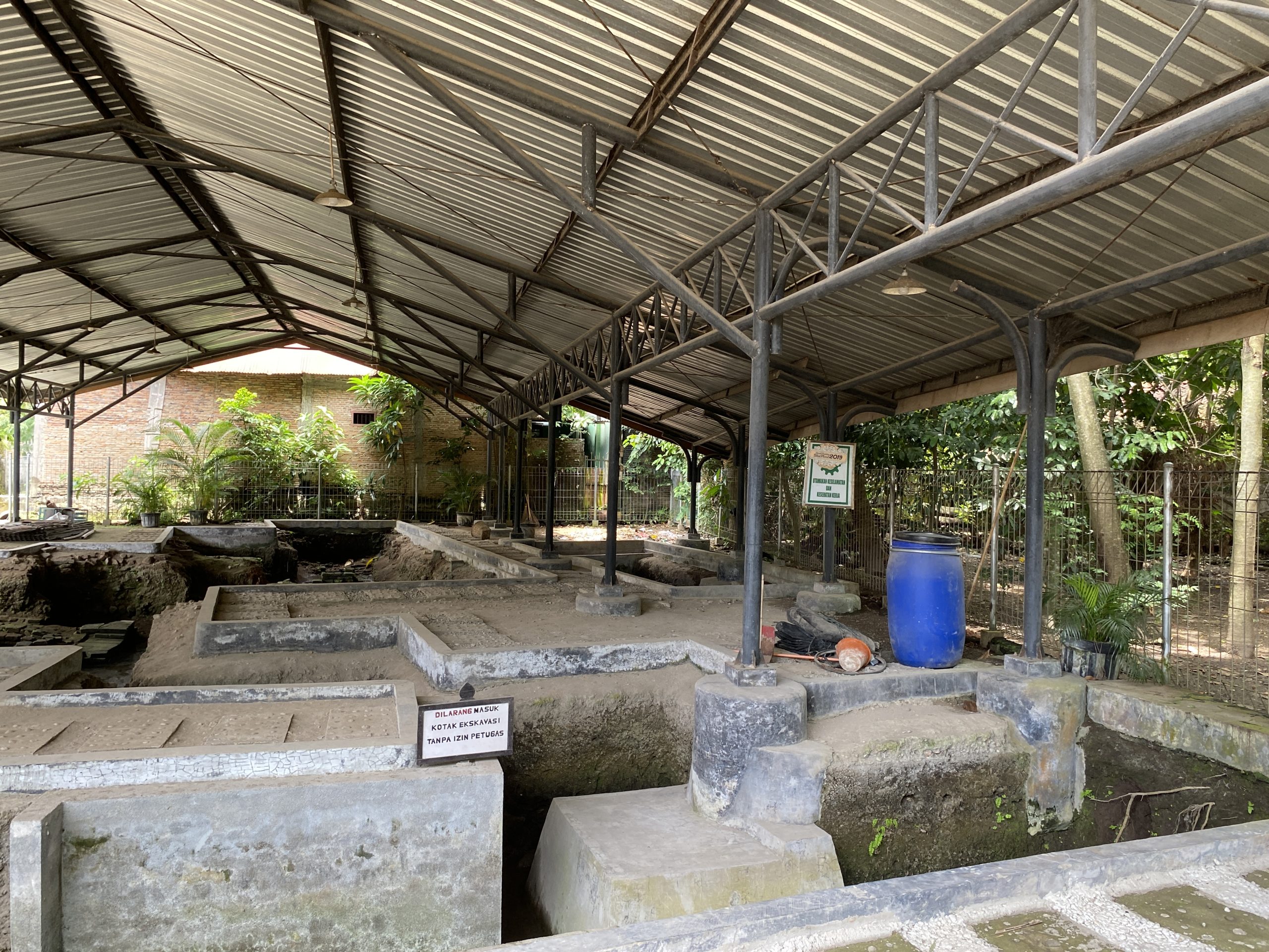
This community service program was conducted in Kalurahan Pleret, Kapanewon Pleret, Bantul Regency, with the aim of inventorying and documenting existing cultural heritage assets. As a historical village area and former capital of the Islamic Mataram Kingdom, Pleret possesses important heritage remains that require continuous conservation efforts. Therefore, the inventory and documentation of Pleret’s historical assets are essential as part of heritage preservation, with results made accessible to the public. One of the initiatives undertaken was the preparation of an aerial map based on drone imagery, showing the locations of Islamic Mataram Kingdom remains, which currently exist in the form of excavation sites, ruins, palace sites, the Grand Mosque, and other historical features.
This community service activity also aims to contribute to the achievement of Sustainable Development Goals (SDGs) Goal 11, particularly Target 11.4: Protect the World’s Cultural and Natural Heritage, by strengthening efforts to protect and safeguard cultural and natural heritage. It is expected that the aerial map of the area can be accessed not only by local government but also by the wider public for various purposes. The map can serve as a basis for village development planning and management, heritage conservation, research, and other educational purposes.
(Editorial Team of PkM KBK HTCAUD)