
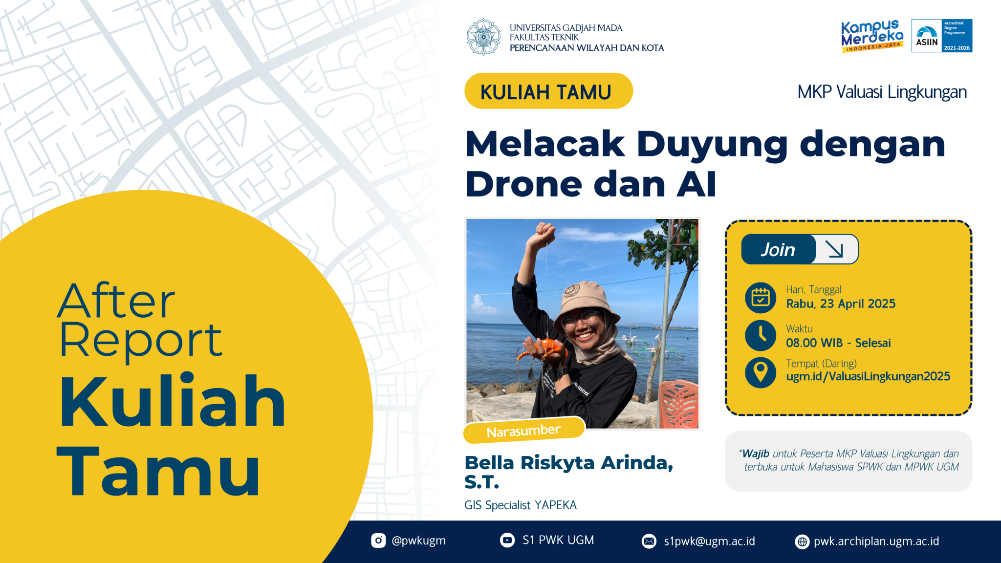
Yogyakarta, April 23, 2025 – The Undergraduate Program in Urban and Regional Planning once again held a guest lecture on Wednesday, April 23, 2025, with the theme “Tracking Dugongs with Drones and AI.”
The guest lecture was conducted online to allow participation from both undergraduate and graduate students of Urban and Regional Planning at Universitas Gadjah Mada (UGM), as well as the general public.
The lecture explored the role of technology in environmental monitoring and analysis. In this session, Bella Riskyta Arinda, S.T., a practitioner and GIS Specialist at YAPEKA, shared her experience in monitoring dugong populations using drone-based aerial imagery and artificial intelligence (AI).
Naturally, some might ask: What exactly is a dugong? Why is it important to monitor them? And how does this relate to the environment?
Bella began the session by introducing dugongs and their relationship with the environment. Dugongs are marine mammals that have a complex interaction with seagrass ecosystems and coastal communities. They play a crucial role in maintaining the health of seagrass beds. Dugongs live in and consume seagrass, and their waste serves as a natural fertilizer for surrounding marine life, including the seagrass itself, promoting growth and sustainability. This dynamic functions as an indicator of a healthy ecosystem. Seagrass and other marine biota are also key sources of income for coastal communities.
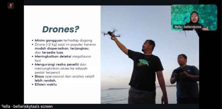
Due to their ecological importance, dugongs must be closely monitored. There are several methods for monitoring dugongs, ranging from traditional on-site observation to the use of advanced technologies. Among these, aerial surveys using drones are preferred for their minimal disturbance to dugongs, wider coverage area, better detection capabilities, and operational ease. However, even with drone technology, thorough planning and systematic survey design are necessary—often requiring a combination of methods.
Of course, technological ease comes with challenges. Detecting dugongs through aerial imagery can be difficult due to unstable water conditions. The imagery must be analyzed carefully, both manually and with the help of AI tools.
Utilizing technology to monitor dugongs as part of the marine ecosystem aligns with several Sustainable Development Goals (SDGs), including SDG 9 (Industry, Innovation, and Infrastructure), SDG 14 (Life Below Water), and SDG 17 (Partnerships for the Goals).
The lecture was well received by participants, including both students and public attendees. In addition to the presentation, the session also featured a lively discussion. Participants expressed strong interest in how technology is applied in environmental and ecosystem monitoring—both of which are crucial elements in urban and regional planning, from small to complex scales. Having a practitioner directly share field experience also gave students a clearer picture of real-world implementation, while inspiring those considering careers in related fields.
Source: https://pwk.archiplan.ugm.ac.id/after-report-kuliah-tamu-melacak-duyung-dengan-drone-dan-ai/